Forums › Western Europe › Netherlands, The › Top Advisor: Mapillary in Map Creator – tips & tricks
-
 Map Creator Benelux • July 12, 2017 at 9:17 pm UTC
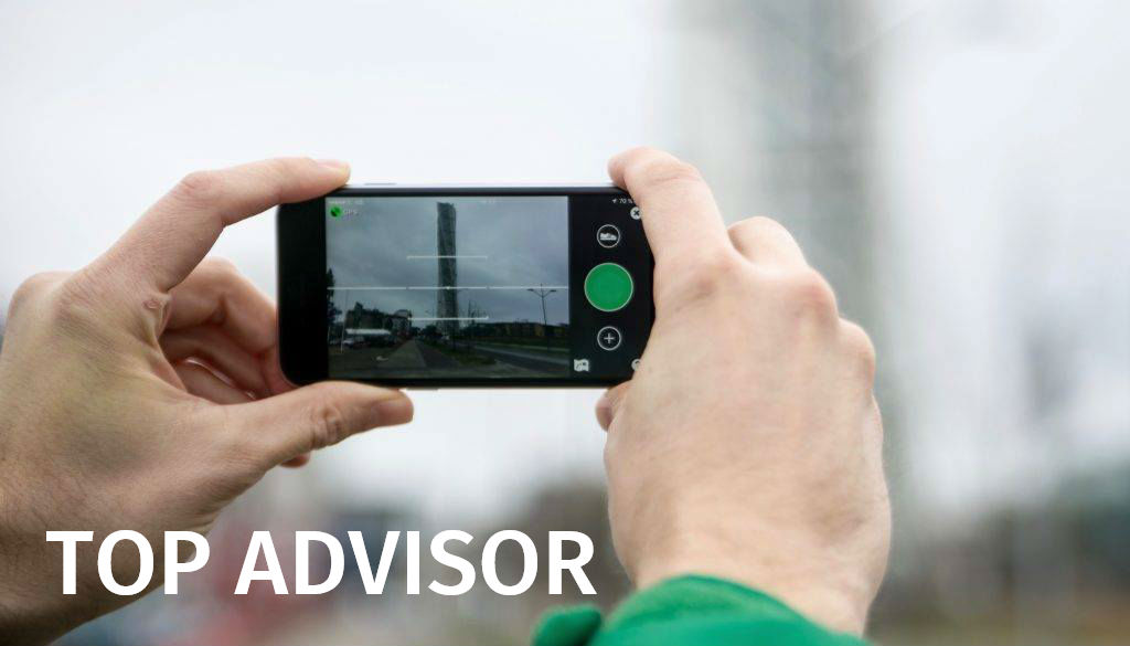
Vorige maand hebben Top Advisor initiatief gehad en toen hebben wij jou gevraagd om je beste ideeën, tips & tricks en adviezen over Map Creator en Mapillary te delen. Het Map Creator-team op basis van diverse feedbacks, tips en opmerkingen heeft de Top Advisor gekozen. Helaas niemand heeft in Benelux gewonnen maar er is een winnaar gekozen in Duitsland, Italië en Portugal. Hierbij een summary van hun ideeën (in het Engels).
Marco, Duitsland:
Use the Mapillary app is quite simple. Actually, you need a username and you’re ready to go. The app can be used with the camera on your smartphone (Android or iOS) or coupled with external cameras. It all runs automatically. The photos can be edited before uploading on Mapillary. For example, if you don’t want a photo to land on Mapillary. Subsequent editing is also possible. Before publishing, faces and signs are made automatically unrecognizable. Traffic signs are automatically detected, and you can view all recognized traffic sign on the map. Sometimes incorrect things are detected or overlooked by image recognition. This depends on the angle and the quality of the photos.
It would be nice even, if the Mapillary window in Map Creator would be larger and also filters for the traffic signs would be available.
Vincenzo, Italië:
Mapillary is a very good tool and in my opinion should be better integrated in Map Creator; I think that users should receive more information about what they are doing and what they are helping to do (badges).
Generally speaking, for each valuable edit the users are doing in MC or if that edit is appreciated from a large number of Community members (likes?), a badges should be assigned (Master of Roads, as example, or “more appreciated POI editor”) and same for Mapillary; it would be great if each user can have a kind of badge/indicator showing the pictures he/she is adding or if an user A uses a picture made by B, B is informed and receive a badge.
Finally, if an user should edit an area but does not have detailed information for that area, can ask help for all the users in that area to provide pictures; this can be done also for the HERE WeGo users, as Google already is doing.
Nuno, Portugal:
Mapillary is a collaborative street level photo mapping tool (with more than 100 million photos already submitted), which through the app (iOS and Android), 360 action cameras allows to map the territory photographically in a current way and by Next add elements and improve HERE maps (whether they are new POIs, road conditions, turning restrictions, etc.).
How to install and request the free mount:
Mapillary is a collaborative street level photo mapping tool (with more than 100 million photos already submitted), which through the app (iOS and Android), 360 action cameras allows to map the territory photographically in a current way and by Next add elements and improve HERE maps (whether they are new POIs, road conditions, turning restrictions, etc.).
You can order a free bike or car mount for your smartphone : here
Install the app available for Android and for Apple devices.
At the moment the app for Apple devices is more advanced and allows you to use cameras external to your smartphone. The use of the app does not require WiFi or data to work when it is captured (only it is necessary to have the GPS of the smartphone active, the upload of the photos of the sequence is carried out when the user has a WiFi network, avoiding unnecessary use of mobile data).
Some tips:- Before starting a sequence, wait until the GPS signal is adequate;
- If you use the mount for the car (it’s an interior mount for the video of the car), I recommend that you put a cloth or black jacket on the dashboard because of the reflections on the windscreen);
- Try to create sequences between hours that the sun is not facing the direction of travel;
- The intervalometer of the app that is ideal for capturing photos of sequences when traveling in a car is 1 second, for bicycle or on foot every 2 seconds is more than enough;
- Capture 360 degree sequences as they rotate over you, making a number of photos between 10 and 20 photos so that after uploading to the Mapillary platform, stiching of images is better and more fluid;
- Upload the strings when you have the phone to load;
Some examples of user contributions in Portugal:
Paredes, Braga, Faro Island, Madeira.
Watch a tutorial on how to enable the Mapillary layer in HERE Map Creator.
Some features of Mapillary:- Mapillary Vistas, research for automatic recognition of features through Machine Learning (Example in Lisbon);
- Time Travel, which allows you to temporarily navigate between different photos;
- Time Travel with photos from decades ago;
- 360 Sequences of Some Users. The sequences can be embedded into ArcGIS websites.
Mapillary Blog with several examples of Mapillary use and collaboration in various themes, from the use in communities of collaborative mapping, humanitarian situations or local communities (cyclists, reduced mobility, for tourist purposes) who want a visual and current representation of their city.
Wat zijn je ervaringen met Map Creator en Mapillary? Heb je misschien een tip, suggesties of persoonlijk advies over Mapillary en Map Creator? Deel deze met andere Map Creators!
 Chris Leicher • July 12, 2017 at 9:17 pm UTC
MAP Creator is prima alleen mijn wijzigingen worden niet verwerkt!! Ik vind het eigenlijk een schande dat het mij heel veel overtuigingskracht kost om voorgestelde wijzigingen doorgevoerd te krijgen. Ik heb meer dan 40 wijzigingen die controleerbaar correct zijn maar niet worden doorgevoerd. De interface is prima en heel praktische. Wat kan er nog beter: recente satelliet foto’s !, rijstroken correcties toevoegen. selecteren van meerdere segmenten en 1 correctie maken bv snelheid of richting. fietspad toevoegen.
Huub Janssen • September 20, 2017 at 9:36 am UTCHelemaal met Chris eens. Volgens mij gebeurt er niks met deze data. Mijn VW discover media systeem uitgerust met Here kaartdata blijft een raar geval in vergelijking met een losse navigatie unit. Vreemde omwegen, plaatsen waar het doorgeven van (goed berekende) routeaanwijzingen gewoon stopt. Weginfo die op deze mapcreator goed staat komt op een of andere manier niet in VW’s laatste kaart van 2017/18. Omdat opmerkingen over kaartdata niet hier in het forum, maar via de creator gemaakt moeten worden, heb ik daar 1 september melding van gemaakt. Maar de meldingen staan vanaf 1 september al onder review. Het boeit niemand. Heb al melding gemaakt bij de Autoriteit Consument en Markt want je mag dit met de kosten voor dat systeem best opvatten als een vorm van consumenten misleiding. Maar kennelijk boeit het de ACM ook niet. Waarschijnlijk snapt niemand meer hoe het allemaal werkt en durft niemand zijn nek uit te steken. Hoop dat meer VW rijders zich hier in deze kritiek kunnen vinden. Laat maar weten.
Jan Klein • October 6, 2017 at 7:13 pm UTCIk heb meer dan 5000 wijzigingen doorgevoerd de afgelopen half jaar. Ik moet zeggen dat de meeste verwerkingen al te zien zijn in de HERE kaartdata via Android dus via smartphone en offline. Ik geef toe dat het bij sommige bewerkingen eigenlijk nog net effe te lang duurt voordat het verwerkt is en zichtbaar is. Hoe het op de kaartdata die ingebouwd zijn in de auto’s weet ik niet. Wel is het zo en dat verbetert steeds meer, dat ze de achterstanden aan het wegwerken zijn die opgelopen waren toen het nog van Nokia was. Maar ik vind het persoonlijk steeds meer vooruit gaan.
En ook wat ik ook lees is zijn recentere satellietfoto’s en dat is waar, dat mag wel. Huub Janssen • October 7, 2017 at 12:33 pm UTCKun je in de status van je meldingen ook zien dat ze er wat mee doen? Bij die van mij staat al vanaf de melding op 1 sept “under review”. Als bij jou die status ook niet wijzigt maar ze gebruiken de meldingen wel, dan heb ik er al weer een beetje meer vertrouwen in. Kennelijk hebben ze dan alleen moeite met het onderhouden van de meldingen.
Jan Klein • October 8, 2017 at 8:56 pm UTCJe kunt zien wat ze met je meldingen doen, je kunt jou meldingen ook laten volgen. Als je dit doet dan kan je de meldingen makkelijker zien in je watchlist. Maar ook als je het niet doet dan kan je ze ook zien maar dan moet je gewoon je bewerkingen controleren. Als ze de bewerkingen goedkeuren dan zie je een groene streep bij je bewerking en de status is gesloten en ze feliciteren je dat ze jou bewerking gaan toepassen. Bij de eerstvolgende update van kaarten zijn ze te zien. Mocht er een zwarte streep te zien zijn bij je bewerking dan vind HERE dat de bewerking foutief is of dat ze het zo laten of de bewerking maken ze naamloos omdat het officieel geen naam heeft. Dit wordt uitgezocht want de straatnamen moeten goedgekeurd zijn door de regering. En als het een blauwe streep is dan is het gewoon in behandeling en bij de ene bewerking duurt het soms langer als de andere maar op een gegeven moment zie je resultaat. Ik maak veel gebruik van gegevens van het kadaster, enz. Maar als men gaat bewerken moet je het zorgvuldig doen dus netjes en dat de GPS coordinaten kloppen, er mag uiteraard een kleine afwijking bij zijn omdat je niet over het juiste software beschikt maar het gaat erom dat je het zo goed mogelijk doet, dat geeft ook vertrouwen bij HERE en dat moet je opbouwen en dat komt vanzelf.
You must be logged in to reply to this topic.