Viewing 3 posts - 1 through 3 (of 3 total)
You must be logged in to reply to this topic.
Forums › Western Europe › United Kingdom › New housing estate
How are new estates mapped? I suppose I could wander round taking notes and hoping to map it accurately but is there a better way? It’s a relatively small estate.
https://www.lagan-homes.com/development-overview/st-james-view/
Hi,
Thanks for your post.
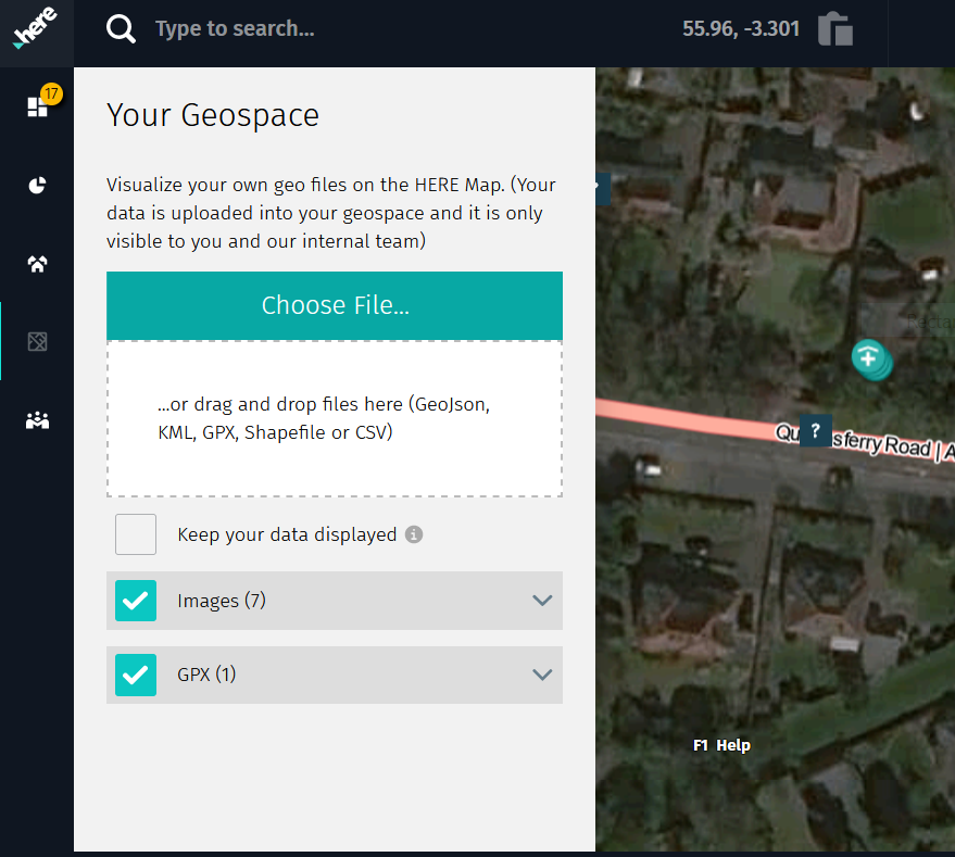
We do have the upload .gps functionality in Map Creator for such editing.
You can collect the trace of the estate, upload and add in the geometry over the top.
You can then also add on addressing – ensure you are zoomed in to the appropriate addressing editing level and ensure the house number editing box is turned on from the right editing panel.
Our aerial imagery should update soon to reflect the new estate(s).
Thanks for your edits!
Thanks for that. I’ve added a bit more of the estate and attempted to add some buildings. It’s a start, at least 🙂
You must be logged in to reply to this topic.