Forums › Western Europe › Belgium › Kampveldstraat Oostkamp
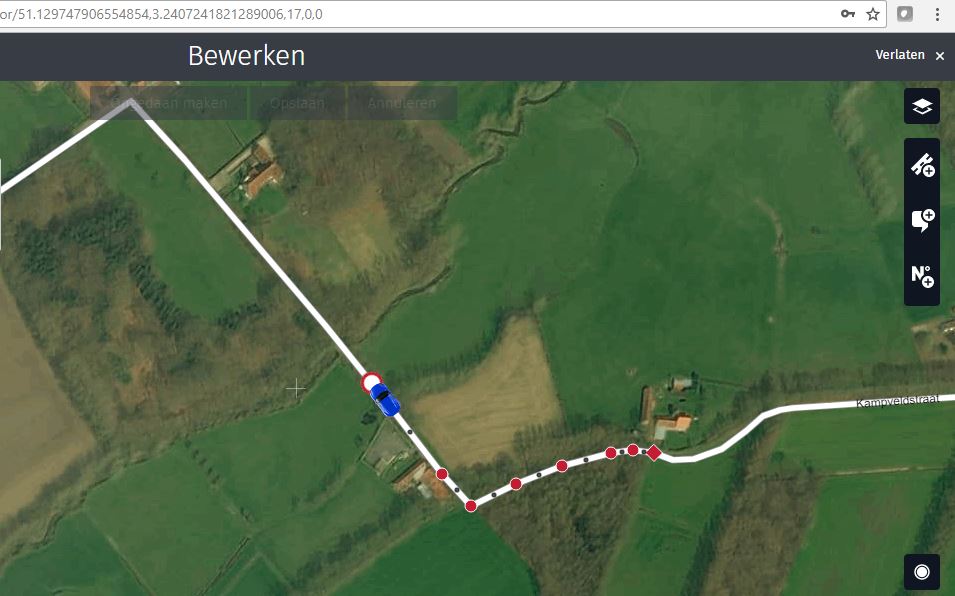
I’ve indicated already some time ago that the Kampveldstraat in Oostkamp is not correctly indicated. At the point “mapcreator.here.com/mapcreator/51.12973444059952,3.2416039466857853,17,0,0” the road is blocked for car traffic.
If i look at the node at the specific location, then i see that the correction has been made but when i go to wego.heremap.com and simulate a trip from one side of this road to the other side then it still uses this road to go between these two points… how is this possible? I understand that this is not immediately update in car-manufacturers updates but on the here web-utility itself…. it should be!
You must be logged in to reply to this topic.