Forums › Western Europe › United Kingdom › New user? click here for help
-
 Ben (HERE Moderator) • November 16, 2018 at 5:23 pm UTC
Dear Mapper,
Have you recently joined Map Creator community and/or would you like to obtain some help ? 🤔
Visit our newest blog post and check how you can smoothly start with Map Creator.
Greetings!
Ben
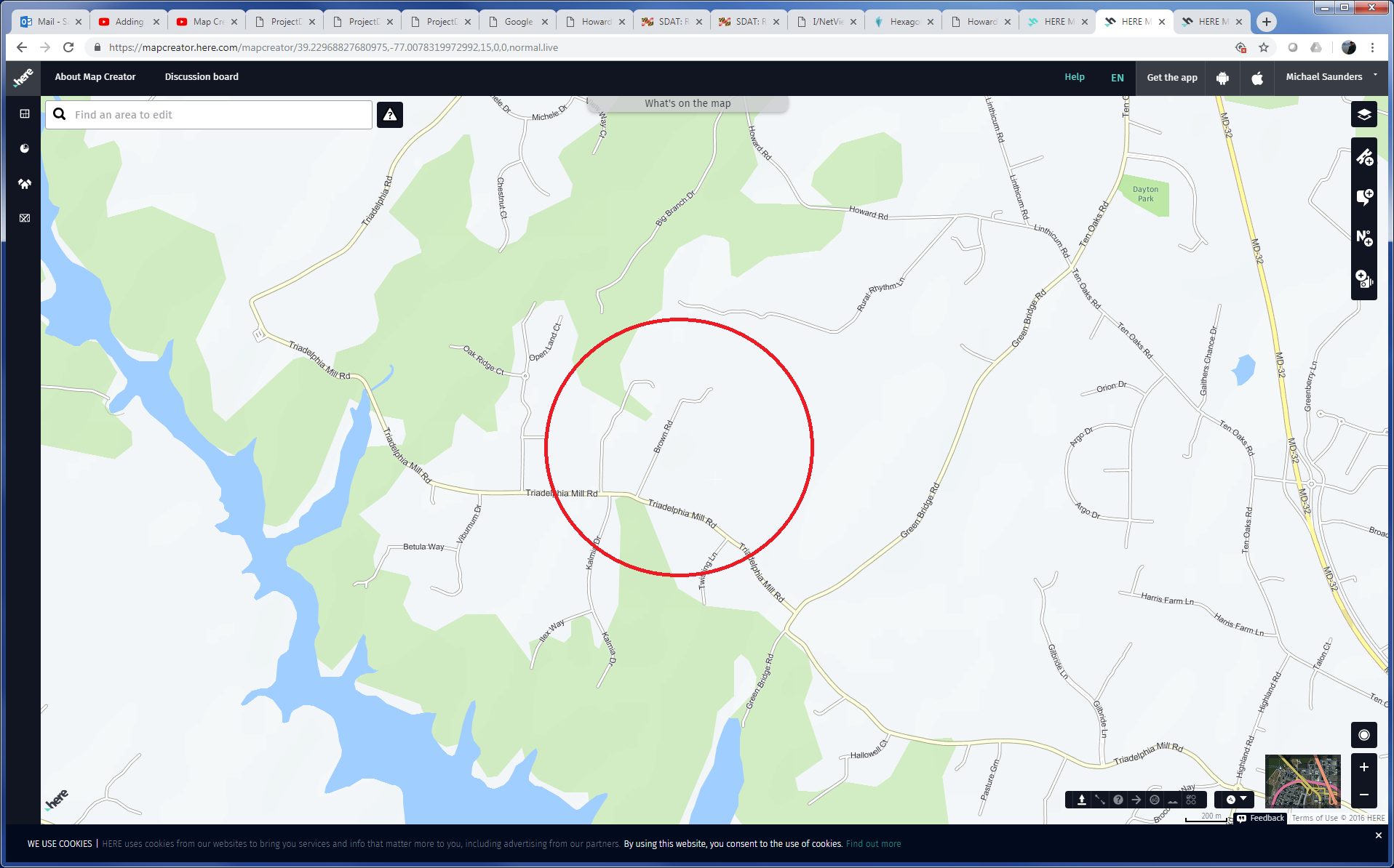
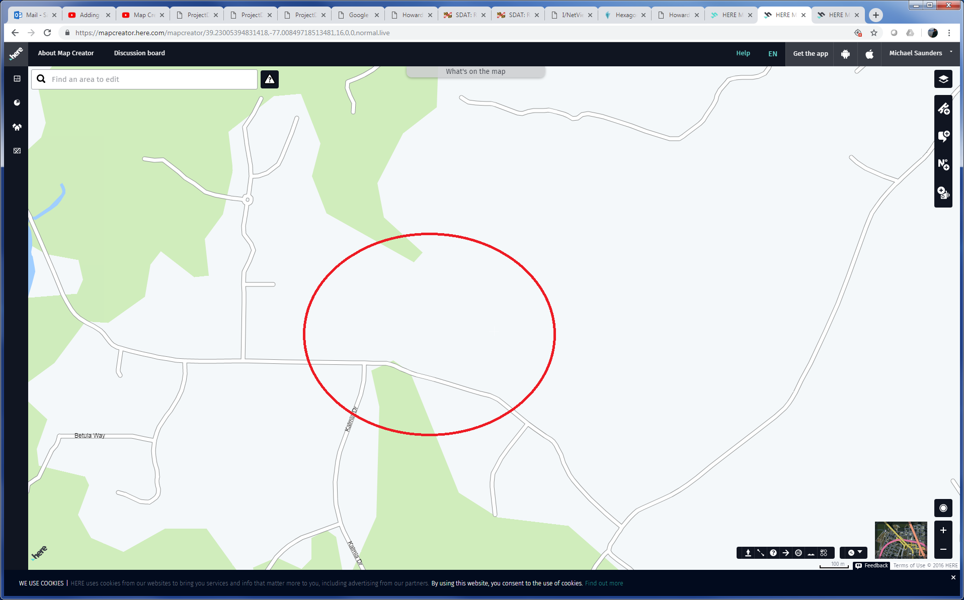
Michael Saunders • April 9, 2019 at 1:29 pm UTCI was able to remove a road that did not exit however it still displays at a higher level. The road name is Brown Rd located in Howard County Maryland. It’s actually just a common driveway. It disappears when zoomed in close but remains at higher levels.
Ben (HERE Moderator) • April 23, 2019 at 2:58 pm UTCHi Michael
Your post ended up on the UK forum for some reason. Can you repost this to https://forum.mapcreator.here.com/forums/forum/region_na/usa/?view=all anmd hoepfully the guys based in the USA can help you!
Thanks
Ben
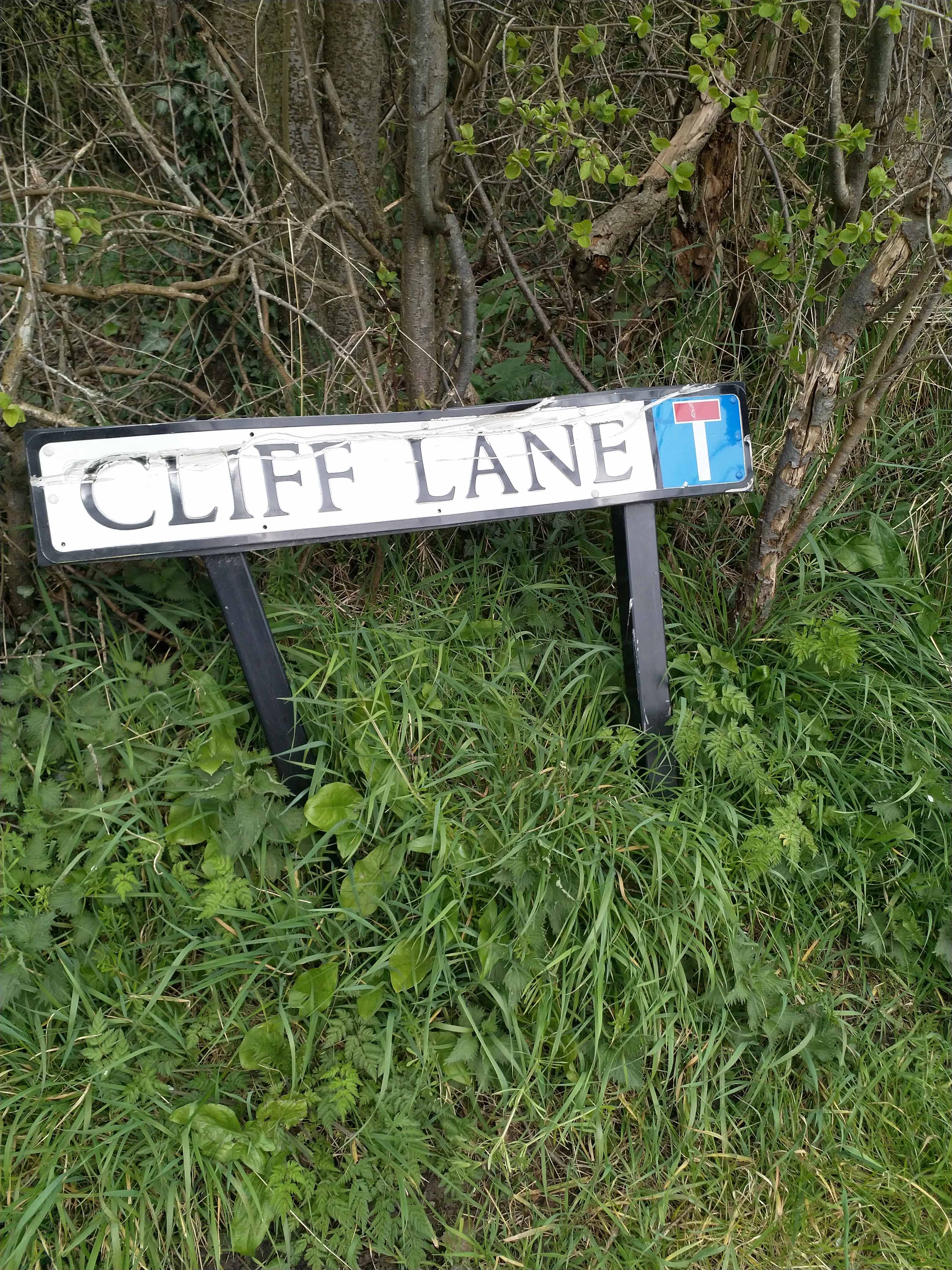
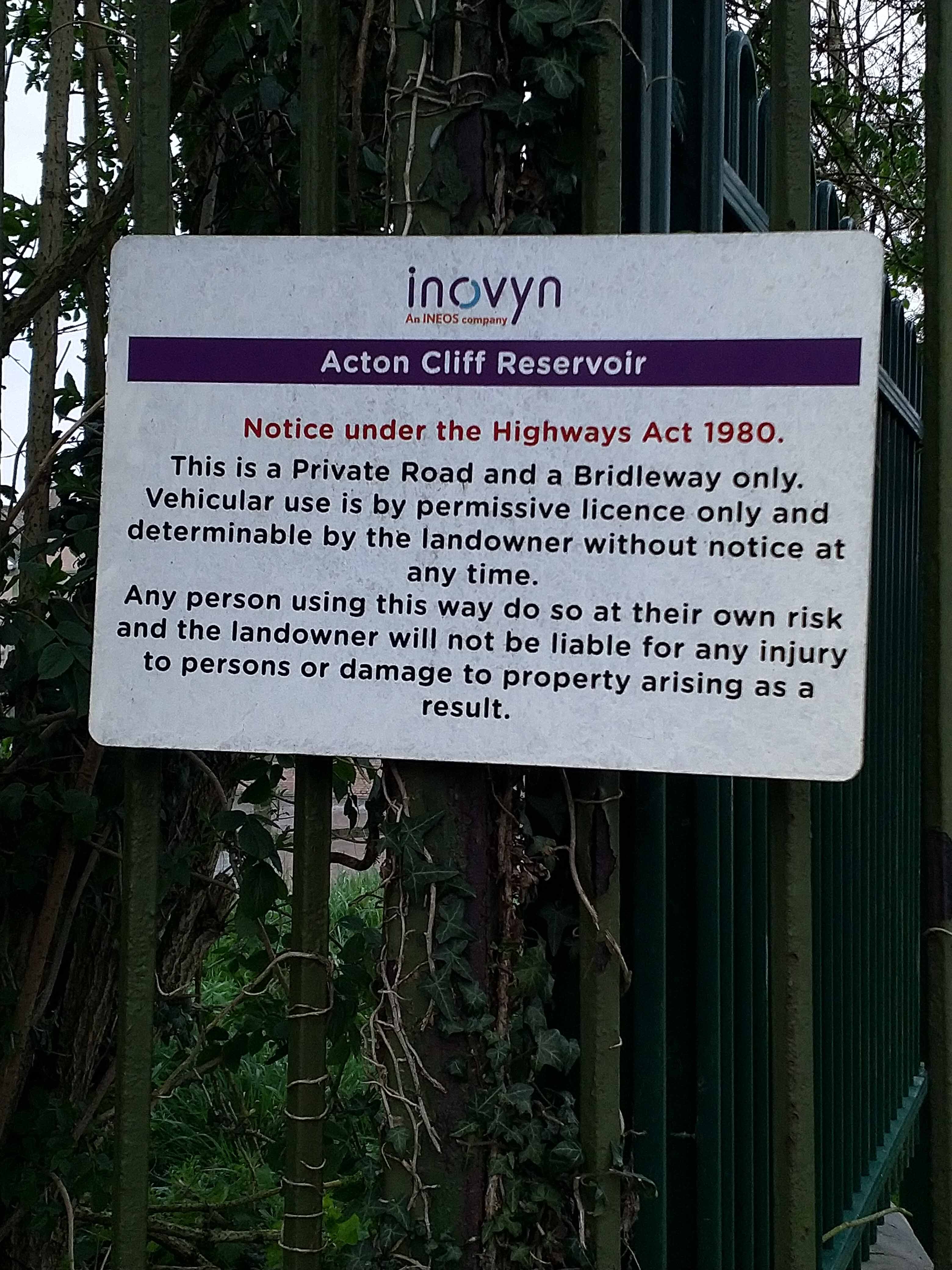
John Holden • April 22, 2020 at 7:02 pm UTCHi, I hope you can help, I’m having a frustrating time trying to get started. I have edited a section of Cliff Lane, see attached, as it is a private road. Here doesn’t seem to have that concept. I’ve changed it to Track but the change has reverted. In attempting to submit photos as evidence, submit is greyed out. Finally my id does not show that I have made any changes and my edits to Cliff Lane show as “Community User”. I have attempted to change it again, to Pedestrian Road but I’m rather expecting it to revert again. How do I get the change to stick and can you shed any light on my other problems?
Thanks
John Roland Hanbury • November 20, 2020 at 5:54 pm UTCI know this is an old post, but in case others come across it. I’m no expert but I believe the correct thing is to show it as a road but tick the box “Local vehicular traffic only” under road access. Tracks and pedestrian roads are for areas that are barred to vehicles altogether (and in the former case, probably impassable by vehicles).
-
This reply was modified 3 years, 5 months ago by Roland Hanbury.
Daniel Buckley • September 13, 2022 at 9:56 pm UTCDoes VW/Skoda use Mapcreator for their satnav systems like Amundsen?
Ben (HERE Moderator) • February 9, 2023 at 12:00 pm UTCHi Daniel
VW/Skoda indeed use HERE and mapcreator for current models including the Amundsen infotainment system. Some older model years had a different data provider. Ive owned a car the Amundsen myself.
Thanks, Ben
Terry Bates • March 21, 2024 at 5:05 pm UTCMib2 standard used Here Maps to V11 then they swapped to TomTom for reasons unknown – probably cost. Mib1 always did use Here Maps. Mib2 High uses Here Maps. Mib3 uses Here Maps. It was the mib2 standard card based system that became the odd one out. So the answer is the later Mib2 Amundsen didn’t but now under mib3 they do :).
-
This reply was modified 3 years, 5 months ago by

You must be logged in to reply to this topic.